|
Images
courtesy of the U.S. Geological Survey, and
each part
of this topographical map is hot-linked to
the
Microsoft Network's TerraServa,
an extremely useful web site.
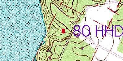
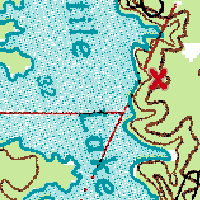
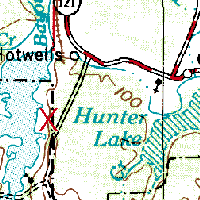
Once
you have located Cotile Lake on the map
above,
you can easily see where we live by studying
these
three close-up topo maps. The first
map is zoomed in the most;
it shows the location of our house near the
crest of a hill.
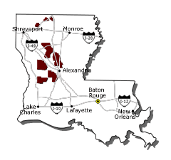
Louisiana
is very low and flat, but we live in the
Kisatchie Hills,
a chain that runs on the western side of
Central Louisiana,
from the center to the north. Our home
is on private land within
the Kisatchie National Forest.
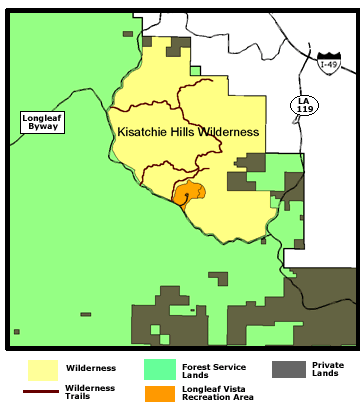
The
Forest has one wilderness area, the 8,700
acre Kisatchie Hills Wilderness,
a wild and beautiful area that includes
relatively steep slopes,
rock outcrops, and mesas, features not found
elsewhere in Louisiana.
The
Kisatchie Hills Wilderness provides visitors
opportunities for
solitude and unconfined primitive
recreation. There are
three trail-heads providing access to
several trail systems. Visitors to
the Wilderness need to remember, however,
the area is not regularly patrolled and any
type of
assistance may take a lengthy time. This
wilderness area is located
beginning in the extreme northwest corner of
the larger topo
map above. Below is the U. S. Forest
Service's map.
The
Kisatchie National Forest has a lot to offer
visitors,
such as 355 miles of trails for hiking,
camping,
mountain biking, horseback riding, or ORV
riding.
Other recreational opportunities include
four lakes,
an 8700 acre Wilderness, and dozens of
camping sites.
The Forest also provides opportunities to
hunt and fish.
|